
 Romana |
 English |
Click here to return to the main page with the current situation from all cities.
|
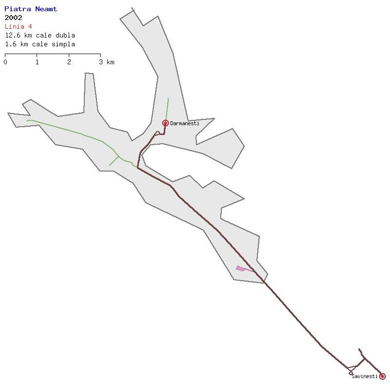
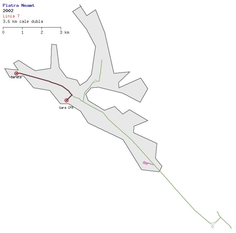
Here you can find a collection of drawings of trolleybus networks from Piatra Neamt.
They're drawn based on the aerial and satellite imagery present in the Wikimapia site.
Click here to return to the main page with the current situation from all cities. |
 |
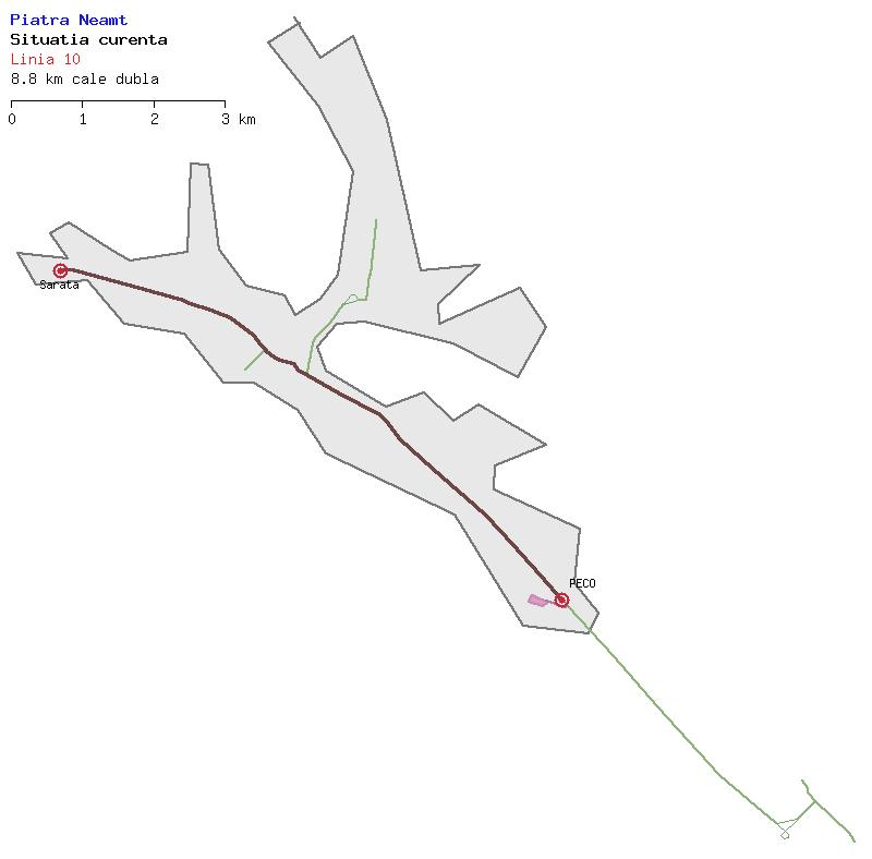
Current situation
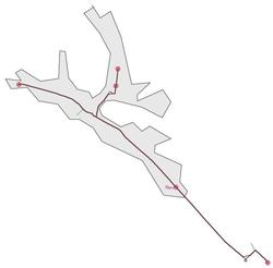
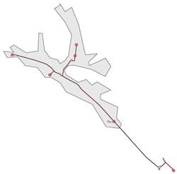
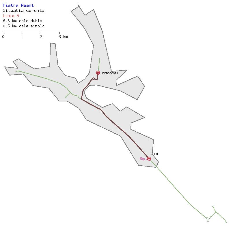
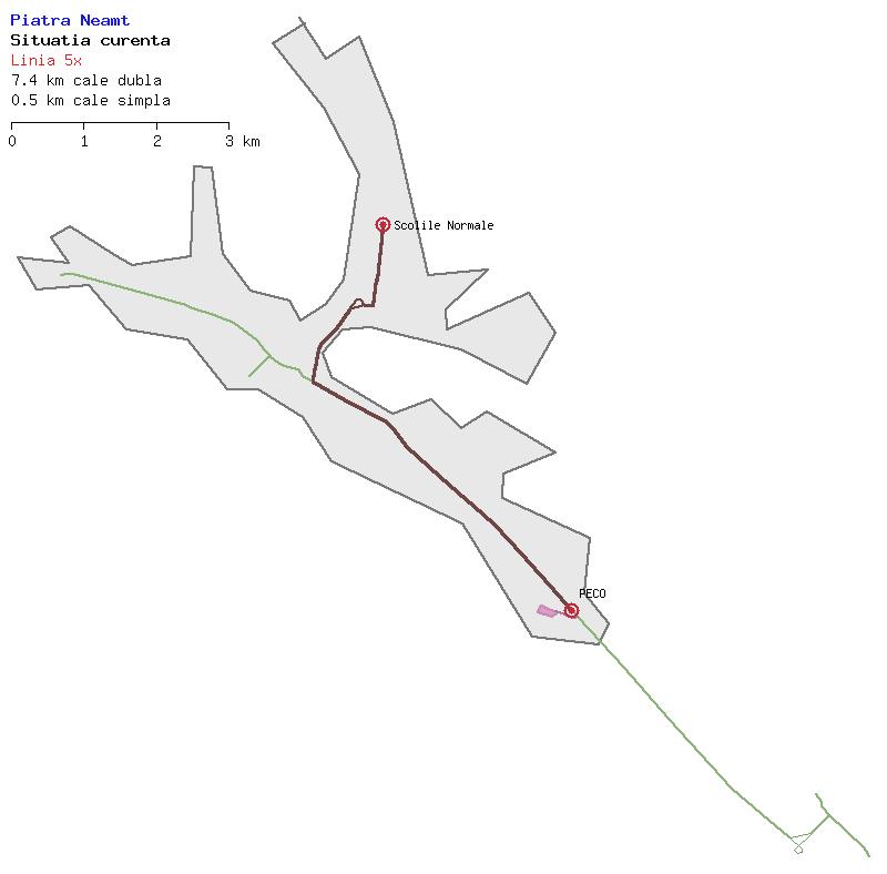
TROLLEYBUSES (WHOLE NETWORK) Current situation. The line numbers are only on paper since the trolleybuses have plates with the destination terminus only, with no line number. I've represented by 5x the runs of line 5 which terminate at Scolile Normale.
|
 |
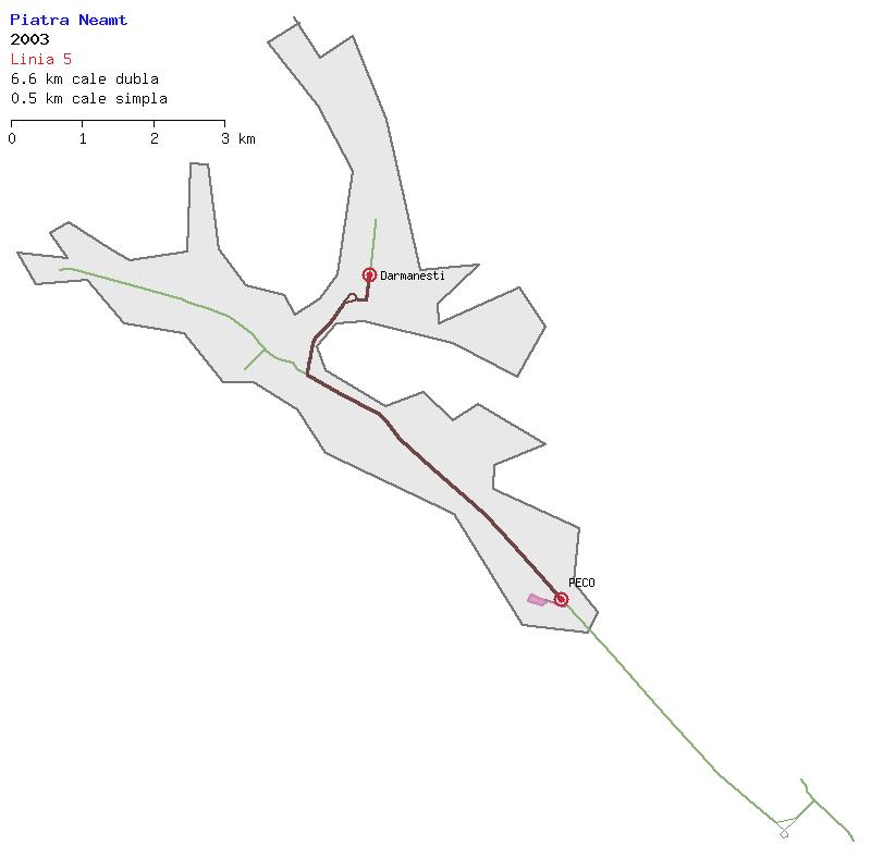
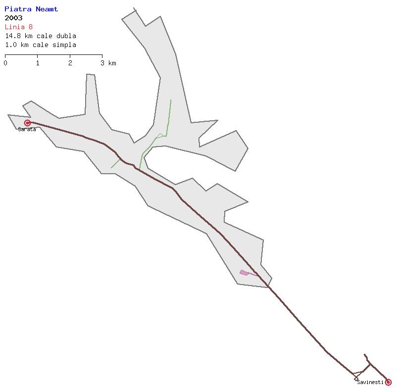
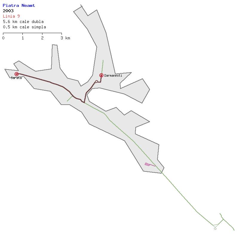
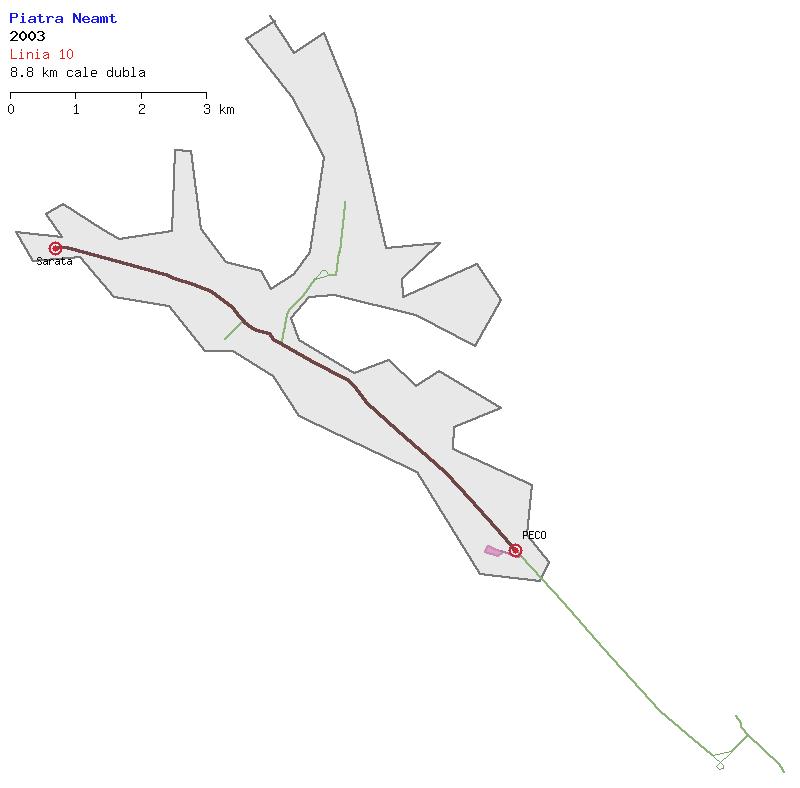
2003
TROLLEYBUSES (WHOLE NETWORK) Situation during May 2003 as per Strassenbahn Atlas Romania 2004.
|
 |
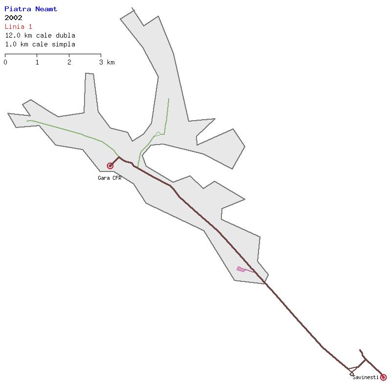
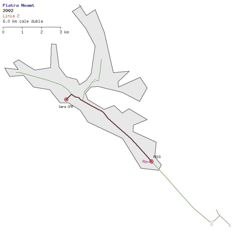
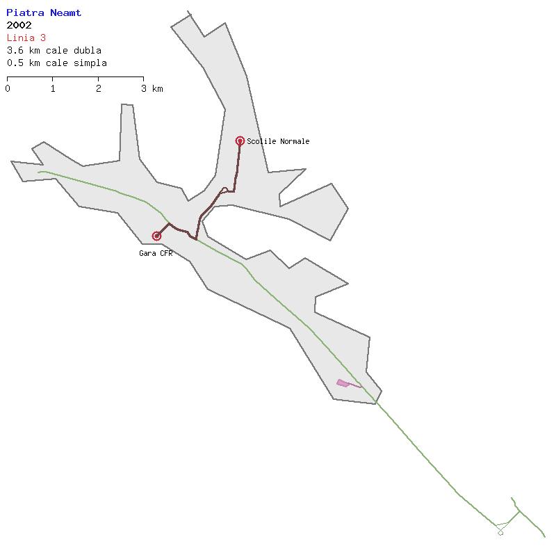
2002
TROLLEYBUSES (WHOLE NETWORK) Network in 2002 as per a posting by Amiralul Byrd.
|